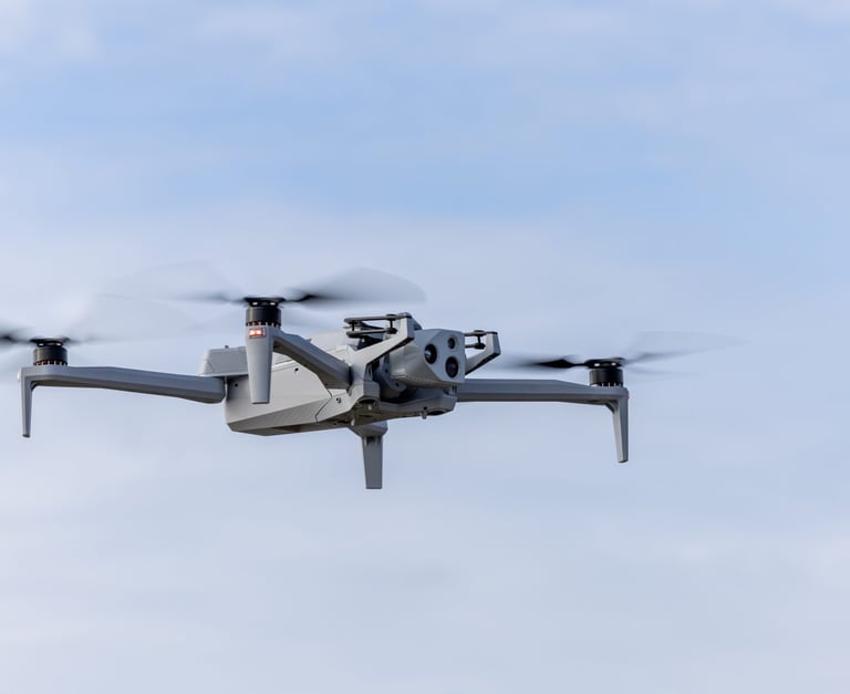
Our Services
High-quality drone imagery for real estate, construction, and mapping projects
Real Estate
Showcase properties with stunning aerial photos and videos that capture every angle.


Construction
Track progress and inspect sites safely with detailed drone footage from above.


Real Estate
Stunning aerial shots that highlight property features.


Construction Progress
Regular drone flyovers capture every stage of your build, keeping your team and clients updated with clear visuals.


Orothomosaics and Photogrammetry
Accurate aerial maps created with precision to support planning, surveying, and land management needs. These maps are invaluable tools for professionals in various industries, offering detailed insights that facilitate decision-making and enhance operational efficiency. Their high resolution ensures that even the smallest details are captured, allowing for comprehensive analyses and effective planning strategies.
Meet the Team Behind Ovrsky
At Ovrsky, we capture your projects from above with precision and care, making every shot count.
150+
15
Trusted, Reliable, Local
5-Star
Choose Your Plan
Flexible drone service subscriptions tailored to you